The eastern Mediterranean and Balkan region contains one of the oldest, most intensive and valuable road networks in the world, representing the works of many cultures and civilisations, and established over many thousands of years. What’s more, many of these roads are still visible, walkable and run through spectacular scenery, rural countryside or historic towns.
Once the tool of military or commercial activity, the routes forming the VIA EURASIA are today a tool for the transmission of shared history and intercultural dialogue.
The VIA EURASIA illustrates the development of roads as the basic land-based communications infrastructure both with and between nations. Its network includes parts of the Persian Royal Road, pre-Roman local networks, major Roman strata, and other Roman roads, many of which were adopted and repaired by succeeding Empires (Byzantine, Ottoman). Although the Romans are rightly viewed as road-builders par excellence, the VIA EURASIA network aims to show that the Roman road network did not start from a Tabula Rasa, that Roman building techniques improved during the expansion of the Empire and that the roads which Roman engineers constructed or adapted later formed the basis of the Byzantine and then Ottoman civil and military networks until the 17th C.
Below we show you some examples of the ancient roads which comprise our route:
Lycian Way
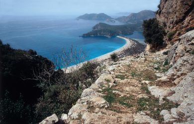
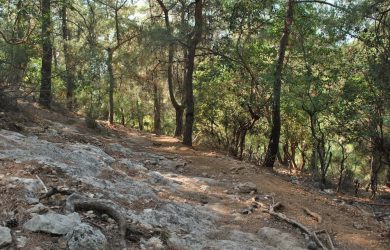
Lycian roads are illustrated by the Lycian Way, a 500km continuous walking route around the coast of Lycia. Opened in 1999, the route follows as far as possible, the still extant roads of the polity (later the Roman province) of Lycia.
Pisidian Roads
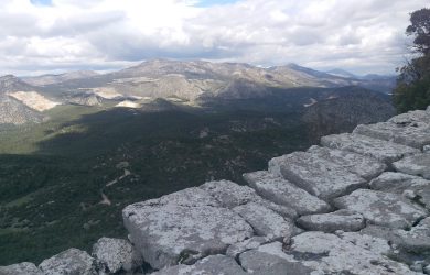
Pisidian Roads are illustrated by the St Paul Trail,which follows the route he took through Pisdia in 44 CE. The 500km St Paul Trail walking route runs over old roads in the most direct line between Paul’s starting point at Perge and his target at Antioch in Pisidia, with a subsidiary branch up the Köprülü Canyon and a link to the northern part of Lycia; as such, the route covers a large proportion of Pisidia.
Phrygian Way
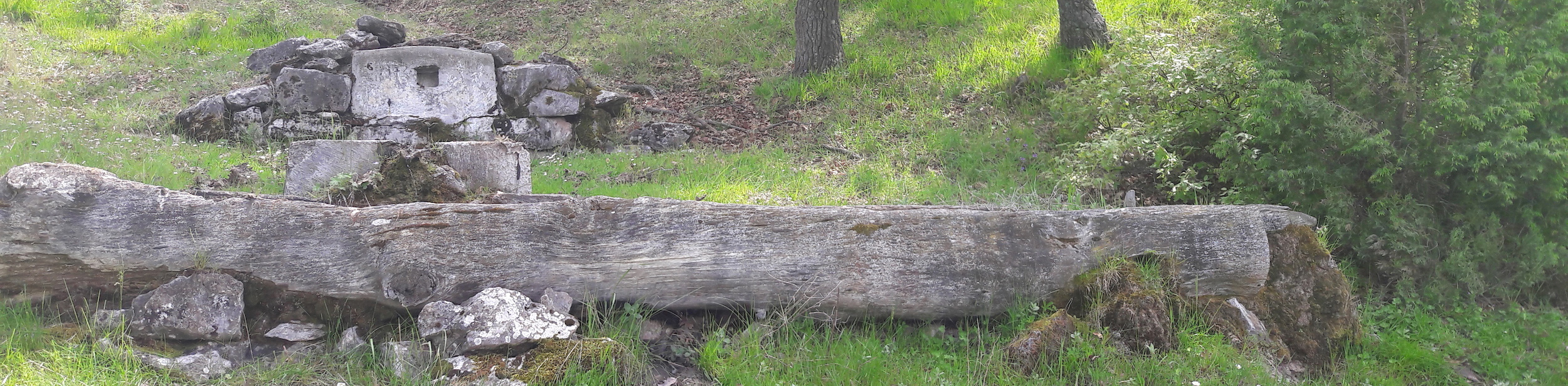
Phrygian Roads are illustrated by the Phrygian Way, a three-branched network of roads radiating throughout Phrygia from the magnificent Midas Monument, an enormous natural rock which was sculpted into a religious monument. Most Phrygian roads were cut into the soft tufa volcanic deposits, and used by wheeled carts which often made a maze of ruts.
Via Egnatia
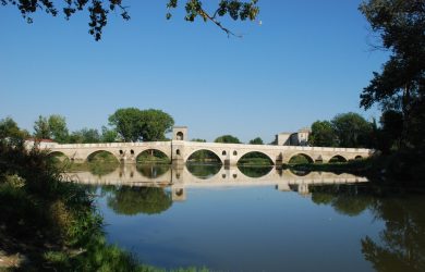
The Via Egnatia Roman Road is represented by the Via Egnatia Hiking Trail, a 840km walking route starting in Dürres, Albania and following the course of the Via Egnatia Roman road to the Turkish frontier. The Via Egnatia Foundation, based in Holland, researched the road and produced a guidebook to the first part of the Via Egnatia Hiking Trail, 475 km long, starting from Durrës and ending at Thessaloniki. The research on the second part of the route, from Thessaloniki to Istanbul, was carried out in 2015 and 2016, and resulted in the mapping of about 380km more of the route. The Via Egnatia guide book to this section is available in Greek from www.trekkinginturkey.com (free) ; if you would like the English text, please contact us.
Bithynian Roads
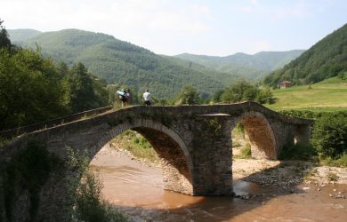
The heart of the Byzantine state was the west-facing peninsula of Asia Minor bounded by the Black Sea, the Bosphorus, the southern slopes above the Gulf of Nicomedia and the Sarangarius river. This area, Bithynia, had the most heavily used of all Byzantine roads, linking the hinterlands to the growing capitals – first Nicomedia then Constantinople - bringing building materials, feeding the growing population and transporting armies as they set off for the frontiers. The first walking route developed in this area is the Hoşgörü Way, which follows the route taken between Nicomedia and Nicaea when publishing Emperor Galerius’ Edict of Toleration. So this route represents the early Byzantine network in Bithynia.
Ottoman Military Roads
Ottoman Military roads are represented by the Sultans Trail, which is a 2200km long-distance hiking and bicycling route from Vienna to Istanbul. The current Sultans Trail follows the Roman, then Ottoman Via Militaris from Belgrade to Edirne, just inside the Turkish border, then takes the Ottoman Danube road from Kırklareli to Gumuşpınar. The route follows the 1529 route of the Ottoman Sultan Suleyman the Magnificent on his military expedition into Europe, which was checked at the siege of Vienna.
Ottoman Civil Roads
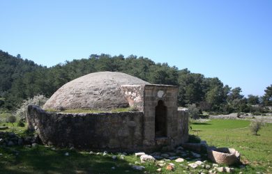
The civil roads of the Ottoman heartlands are represented by the Evliya Çelebi Way, a route based on the early stages of Evliya’s pilgrimage journey in 1671 to the Muslim Holy Places. Evliya was a courtier who was restless when in Istanbul, and used his connections to accompany senior officials appointed to undertake government business in farflung places. He spent over 40 years journeying to the limits of the empire and beyond, and left an account of his journeys—the Seyahatname or Book of Travels—that is arguably the longest travel account in world literature.