The Via Egnatia
The Via Egnatia was built by Cn. Egnatius, proconsul of the Roman province of Macedonia, sometime between 146 and 120, after a long period of unrest and immediately after the establishment of Macedonia as a Roman province. The eastern terminal of the Egnatia – namely, Kypsela – now Ipsala – was just inside the present Turkish border but later extended all the way to Byzantion / Constantinople via Perinthos (Marmara Ereğli). As Moesia and Thrace became part of the Roman Empire, the Via Egnatia ceased being a mainly military road and became instead a trade route.
In the 2nd C, Plotinopolis (Greece near the Turkish border) and Hadrianopolis (Edirne in Turkey) were founded; the Via Egnatia from then on, followed the right bank of the Hebrus river upstream to cross the river at Hadrianapolis, then continue southeast to Perinthos, then to Byzantion.
Perinthos was about three-quarters of the way between Thessaloniki and Diocletian’s late Roman capital of Nicomedia (now İzmit), which lay due east across the Marmara Sea, so travellers and goods could most easily embark here and travel to Nicomedia by sea. Thessaloniki became the capital of the co-Emperor Galerius.
The emperor Constantine replaced Nicomedia as his capital by re-founding Byzantion as Constantinople in c.330CE. His successor Justinian 1 undertook road repairs on the Via Egnatia but by the 7th C, due to the attacks from Bulgars and Slavs, much of the Via Egnatia fell out of use until the Ottomans carried out major works on it.
The value of the Egnatia for trade is confirmed by the many inscriptions that confirm the presence of Roman and Italian immigrants, mostly from southern Italy, in a number of cities along the route. Epirus and Macedonia were always rich in timber and metals, and these products may have played a significant role in commercial transactions.


Road Construction
The original purpose of the road was military expansion and control; Cicero refers to it as a via militaris. Linked to this was the speedy transfer of imperial messages and travel of civil servants or army officers. This traffic would have been in fast 4-wheeled carts or on horseback using relays of mounts. After that came tax collection and the transfer of imperial funds or high-value goods. Other traffic – civilian travellers, merchants, heavier goods – took much lower priority, at least until peace was assured.
When built, the Via Egnatia was a huge capital investment; it was the first major road built by the Romans outside Italy. The west section of the Via Egnatia presented engineering challenges caused by steep hillsides, high passes and fast rivers; the maximum height reached was c.1250m. Some of the east section was subject to flooding; the Roman builders created causeways on which the road ran.
It is likely that the course of the road was mapped by a system of triangulation described by Heron of Alexandria (around 60CE) using a sighting instrument called a groma and a dioptre for measuring angles. This system involved taking measurements and alignments from the hilltops close to the intended route, mapping the measurements onto a large-scale master plan and creating work-plans for surveying and construction teams from the master-plan.


The Road Network
The width varies, from 2.5 to over 8 metres, and the construction details, which originally depended on topography and the available materials, have been obscured, especially by changes in the course of rivers. Foundations were of varying depths of stones alternating with packed earth; it was kerbed with larger raised stones and a line of larger stones served as a central divider. The surface was paved, at least in places, with small fitted slabs and stones and probably surfaced with packed gravel and sand in other places. The road was marked out with milestones, 40 of them have been located with distances measured from the ‘head of the road’; Dyrrachium in Albania or Thessaloniki in Greece.
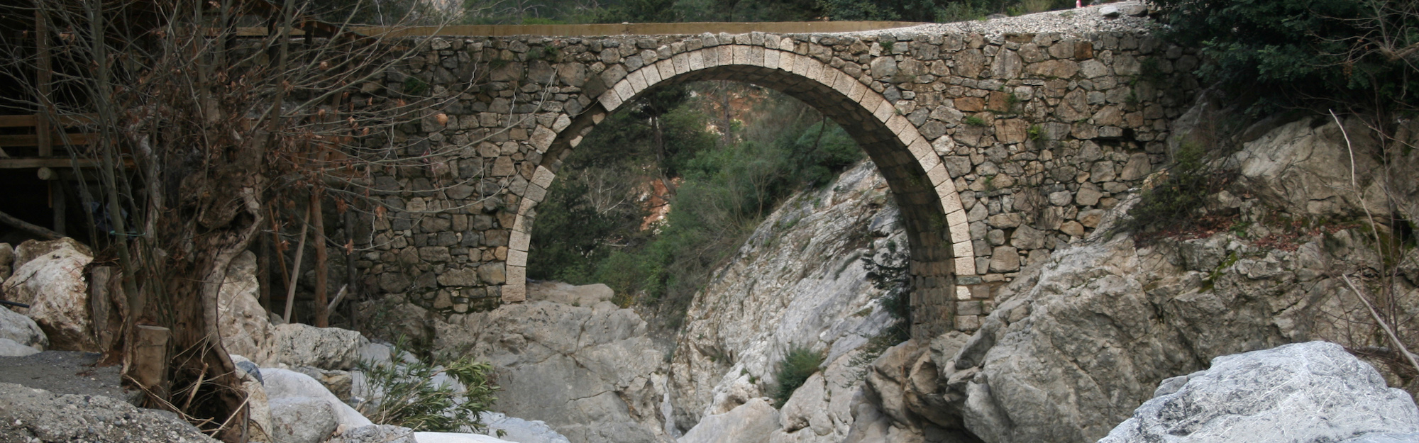
Some present-day towns or cities along the route evolved from the original mutationes and mansiones (service facilities). Bridges have also been lost or rebuilt/replaced, some as the course of many rivers changed, many as part of major Ottoman repairs. Only a few stretches of the Egnatia road surface are now visible, because the route remained in use, so the road-bed was either re-made or covered in asphalt.